
United Kingdom
Boundary Disputes UK: General and Determined Boundaries
Independently fact-checked against primary sources (last audited September 29, 2026). · Law checked current as of September 29, 2026. · 7 primary sources cited on this page. How we verify our legal content

Most people assume their title plan shows exactly where their land ends and their neighbour's begins. In England and Wales, it usually does not. Understanding why the register is deliberately approximate, and what to do if you need an exact answer, resolves a large share of boundary disputes before they ever reach a solicitor.
Why Most UK Property Boundaries Are Not Legally Exact
Section 60 of the Land Registration Act 2002 states that "the boundary of a registered estate as shown for the purposes of the register is a general boundary" and that a general boundary "does not determine the exact line of the boundary." In practice, this means the red line on your title plan is a useful, broadly accurate guide, not a survey-grade legal fact.
This is a deliberate design choice, not an oversight. If every title plan had to reflect the exact legal boundary to the centimetre, small everyday changes, a fence rebuilt a few inches from where the old one stood, a wall repointed and rebuilt slightly differently, would constantly need re-registering. Leaving boundaries general keeps the system workable for the vast majority of properties, where nobody actually disputes where the line runs.
How to Get an Exact Boundary Fixed: The Determined Boundary Process
If a general boundary is not good enough, for example because a dispute has arisen or you want certainty before building close to the line, HM Land Registry Practice Guide 40 describes two main routes to a more precise boundary: a private boundary agreement with your neighbour, or the formal determined boundary process.

A determined boundary application is made using Form DB, under rule 118 of the Land Registration Rules 2003, which allows a registered proprietor to apply for the exact line of their boundary to be fixed. The application must be supported by a plan (with an optional written description) that meets a defined accuracy standard, prepared to a professional standard and typically produced by a chartered surveyor.
What Happens If Your Neighbour Objects
Once a determined boundary application is made, HM Land Registry gives notice to the neighbouring owner or owners. If they raise a genuine objection, one that is not found to be groundless, and it cannot be resolved by agreement, HM Land Registry must refer the matter to the Land Registration division of the First-tier Tribunal (Property Chamber), rather than deciding it itself. The Tribunal then hears the dispute and determines the exact line.
Because a determined boundary application invites a neighbour to formally object, and because it requires a professional survey, it is a more involved and more expensive route than most disputes need. Many boundary disagreements are resolved instead through an informal, mutually signed boundary agreement, which can be lodged with HM Land Registry without going through the full determined boundary procedure.
Try Mediation Before Court or Tribunal
Boundary disputes have an unusually bad reputation for consuming money and goodwill out of all proportion to the value of the land involved: a dispute over a metre-wide strip of garden can generate legal costs many times higher than the land is worth. For this reason, mediation is strongly encouraged before a boundary dispute reaches court. Civil Justice Council guidance specifically promotes mediation for boundary and neighbour disputes, and a court can pause proceedings to give mediation a chance to work.
Mediation does not decide the legal boundary the way the First-tier Tribunal or a court can, but it can produce a practical, mutually agreed outcome far more quickly and cheaply, and it preserves a working relationship between neighbours that litigation tends to destroy.
Common Triggers for a Boundary Dispute
Boundary questions rarely come up out of nowhere. They tend to surface when something changes: a new survey carried out before an extension or a sale, an old fence finally rotting and needing to be rebuilt, a hedge or tree encroaching further than either side had noticed, or a neighbour starting building work close to the line. In many of these situations, the underlying deeds have never actually been read closely by either owner, and a look at the title plan and any historic conveyance is a more useful first step than an argument about where a fence "has always stood."
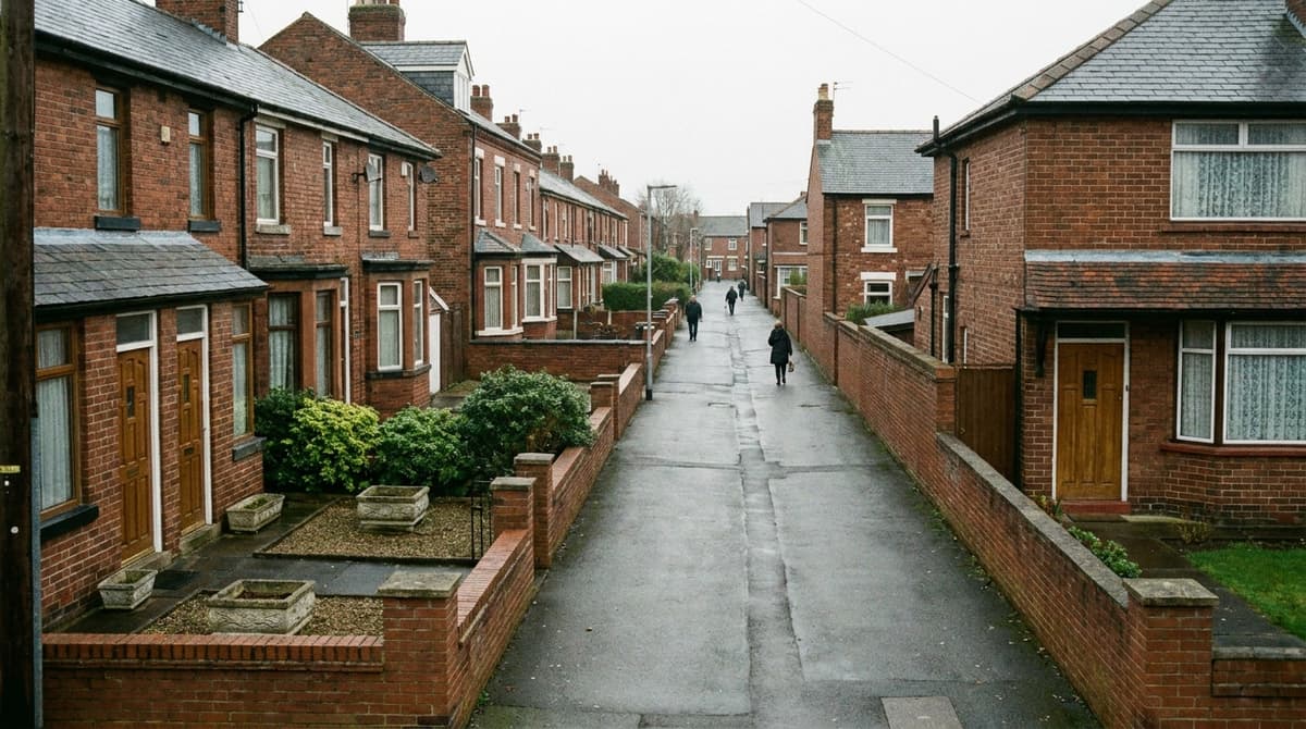
It is also worth remembering that a general boundary being approximate is not itself evidence that anyone is trying to take land. Most of the time, small discrepancies between a fence's actual position and the title plan's red line are simply the accumulated effect of decades of rebuilding, and were never intended to shift ownership at all.
There Is No "Boundary Disputes Act"
It is worth saying plainly: there is no single UK statute called a "Boundary Disputes Act." The law that actually governs boundaries in England and Wales is spread across the Land Registration Act 2002, the Land Registration Rules 2003, HM Land Registry's practice guidance, and ordinary common law principles going back well before land registration existed. Anyone searching for a single dedicated boundary statute will not find one; the general boundaries rule and the determined boundary process described above are the closest things to it.
Scotland: A Genuinely Different System
Scotland does not use the general boundaries approach at all. Its Land Register, established under the Land Registration etc. (Scotland) Act 2012, works as a true cadastral map: each registered title occupies a defined position on the map, and registered plots are not permitted to overlap. This is a structurally different system from general boundaries, not simply a stricter version of the same idea, and it changes how a Scottish boundary dispute is approached from the outset.

Northern Ireland's registry map is also not generally treated as conclusive proof of the exact boundary line, though the detail of Northern Ireland's rules differs from those in England and Wales. Anyone with a boundary question on a Northern Ireland property should check the current position with a local solicitor rather than assuming the England & Wales rules above apply directly.
This guide explains the general boundaries and determined boundary system in England and Wales; it is not legal advice, and every boundary dispute turns on its own deeds, plans and history. For a specific dispute, consider a RICS chartered surveyor or a solicitor experienced in boundary matters. For fence and wall ownership specifically, see fence and boundary law, and for gaining land through long use, see adverse possession. For the wider picture, see the UK Property & Neighbour Disputes hub.
Frequently Asked Questions
Does my title plan show the exact legal boundary of my property?
Usually not. Under section 60 of the Land Registration Act 2002, most registered titles in England and Wales show only a 'general boundary', which is approximate rather than legally exact, unless a determined boundary application has been completed for that title.
How do I get my exact boundary legally fixed?
You can apply to HM Land Registry using Form DB under rule 118 of the Land Registration Rules 2003, supported by a professionally prepared plan meeting a defined accuracy standard. This is called a determined boundary application.
What happens if my neighbour objects to my determined boundary application?
If HM Land Registry considers the objection genuine rather than groundless and it cannot be resolved by agreement, the application is referred to the Land Registration division of the First-tier Tribunal (Property Chamber), which then decides the exact boundary line.
Is there a specific 'Boundary Disputes Act' in the UK?
No. There is no single statute by that name. Boundary law in England and Wales comes from the Land Registration Act 2002, the Land Registration Rules 2003, HM Land Registry practice guidance, and common law principles.
Should I go to court straight away over a boundary dispute?
Generally no. Mediation is strongly encouraged first, and courts can pause a boundary case to allow it, because legal costs in these disputes often far exceed the value of the land in question. A private boundary agreement with your neighbour is often quicker and cheaper than any formal process.
Is the boundary system the same in Scotland?
No. Scotland's Land Register, under the Land Registration etc. (Scotland) Act 2012, is a cadastral map where registered plots cannot overlap, which is a fundamentally different system from the general boundaries rule used in England and Wales.
Updates
We clarified that HM Land Registry refers a genuine objection to a determined boundary application to the First-tier Tribunal only when it cannot be resolved by agreement.
Independently fact-checked against the cited primary sources; governing law re-checked for recent changes
The Law Behind This Article
This article rests on the statutory provisions below, held in our own legal record and retrieved from the official source. Tap a section to read the operative text.
Land Registration Act 2002
s. 60BoundariesIn force
(1) The boundary of a registered estate as shown for the purposes of the register is a general boundary, unless shown as determined under this section. (2) A general boundary does not determine the exact line of the boundary. (3) Rules may make provision enabling or requiring the exact line of the boundary of a registered estate to be determined and may, in particular, make provision about— (a) the circumstances in which the exact line of a boundary may or must be determined, (b) how the exact line of a boundary may be determined, (c) procedure in relation to applications for determination, and (d) the recording of the fact of determination in the register or the index maintained under section 68. (4) Rules under this section must provide for applications for determination to be made to the registrar.
Official text (excerpt) · last checked 2026-08-14 · Read the full text in our law library · Verify at legislation.gov.uk
The Land Registration Rules 2003
art. 118Application for the determination of the exact line of a boundaryIn force
(1) A proprietor of a registered estate may apply to the registrar for the exact line of the boundary of that registered estate to be determined. (2) An application under paragraph (1) must be made in Form DB and be accompanied by— (a) a plan, or a plan and a verbal description, identifying the exact line of the boundary claimed and showing sufficient surrounding physical features to allow the general position of the boundary to be drawn on the Ordnance Survey map, and (b) evidence to establish the exact line of the boundary.
Official text (excerpt) · last checked 2026-08-12 · Read the full text in our law library · Verify at legislation.gov.uk
Search our record of UK legislation — retrieved from legislation.gov.uk →
Sources and References
- Land Registration Act 2002, s.60 (general boundaries)(legislation.gov.uk).gov
- Land Registration Rules 2003, rule 118 (determined boundary applications)(legislation.gov.uk).gov
- HM Land Registry Practice Guide 40, Supplement 4: boundary agreements and determined boundaries(gov.uk).gov
- GOV.UK: First-tier Tribunal (Property Chamber)(gov.uk).gov
- Land Registration etc. (Scotland) Act 2012(legislation.gov.uk).gov
- Civil Justice Council: Guidance Note on Boundary Disputes (August 2018)(judiciary.uk).gov
- Land Registration Act 2002, section 73: Objections(legislation.gov.uk).gov